File:Crop focusing on the Kiev Voivodeship in the Prototype of the "special" map of Ukraine.jpg

Original file (6,067 × 4,857 pixels, file size: 1.65 MB, MIME type: image/jpeg)
| This free media file is from Wikimedia Commons. Its description page is included below. |
Summary
| Description |
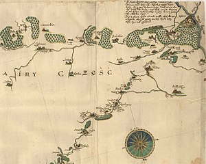
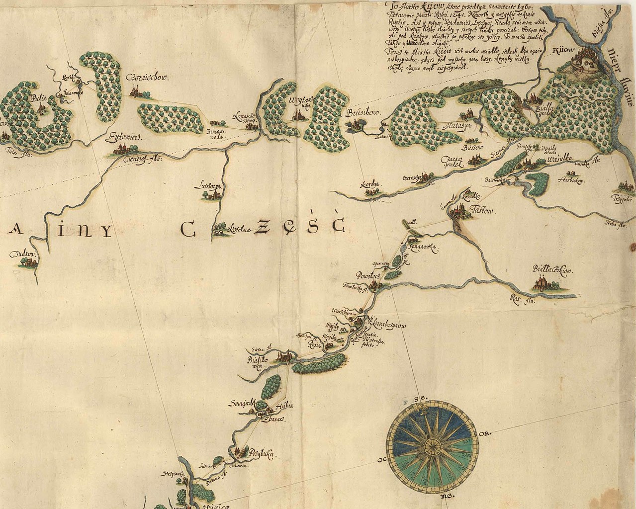
English: This map is considered as the "prototype" of the map of Ukraine that was printed in Gdańsk in 1650. One characteristic of this map is that much of it is blank and courses of even major rivers are missing. This is aclear evidence that Beauplan, by 1635, did not yet have time to prepare a proper cartographic survey of the entire area. Moreover, it is obvious that parts of this map are missing. The best example is the half cartouche at the bottom of the map. It is
also uncertain whether any land surveys had been completed on the left bank of the Dnipro River. |
||||||||||||||||||||||||||
| Date | |||||||||||||||||||||||||||
| Source |
|
||||||||||||||||||||||||||
| Creator |
|
||||||||||||||||||||||||||
| Permission (Reusing this file) |
|
||||||||||||||||||||||||||
| Georeferencing | If inappropriate please set warp_status = skip to hide. | ||||||||||||||||||||||||||
| Other versions | |||||||||||||||||||||||||||


.jpg)
Licensing
|
This work is in the public domain in its country of origin and other countries and areas where the copyright term is the author's life plus 70 years or fewer.
| |
| This file has been identified as being free of known restrictions under copyright law, including all related and neighboring rights. | |
File history
Click on a date/time to view the file as it appeared at that time.
| Date/Time | Thumbnail | Dimensions | User | Comment | |
|---|---|---|---|---|---|
| current | 12:37, 21 March 2023 | | 6,067 × 4,857 (1.65 MB) | DivadH | File:Prototype of the "special" map of Ukraine (cropped).jpg cropped 56 % horizontally, 23 % vertically using CropTool with precise mode. |
.jpg)
File usage
The following 2 pages use this file:
Global file usage
The following other wikis use this file:
- Usage on en.wikipedia.org
- Usage on vi.wikipedia.org