File:Regional Ambassadors Map-3.png
Jump to navigation
Jump to search
Size of this preview: 800 × 509 pixels. Other resolutions: 320 × 204 pixels | 640 × 407 pixels | 1,024 × 652 pixels | 1,280 × 815 pixels | 2,560 × 1,629 pixels | 3,300 × 2,100 pixels.
Original file (3,300 × 2,100 pixels, file size: 158 KB, MIME type: image/png)
| This free media file is from Wikimedia Commons. Its description page is included below. |
Summary
| Description |
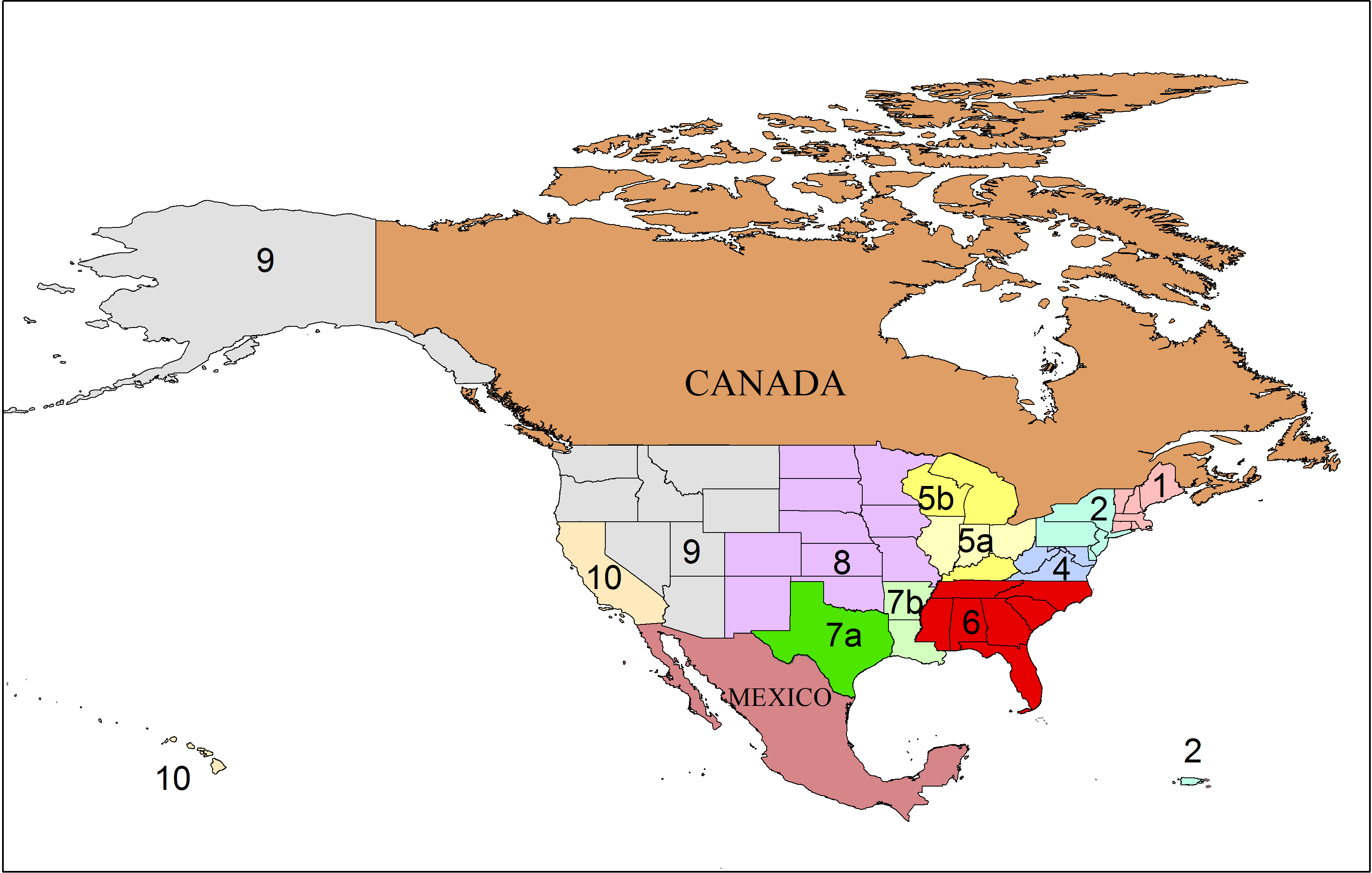
English: A map showing the areas of the Regional Ambassadors based on existing information and public domain base layers. (PNG version of Regional Ambassadors Map.svg) |
| Date | |
| Source | Own work |
| Author | Guerillero |
- The map was created using ArcMap 10 and exporting out a PNG file.
- This map is provided "as is", without warranty of any kind, express or implied, including but not limited to the warranties of merchantability and fitness for a particular purpose. In no event shall the authors or copyright holders be liable for any claim, damages or other liability, whether in an action of contract, tort or otherwise, arising from, out of or in connection with the map's use.
- This map may be incomplete, and may contain errors. Even if the original data is correct, converting GIS layers into images or other file types may create errors.
- Do not rely on this map for navigation.
Data
This image or file is a work of a United States Census Bureau employee, taken or made as part of that person's official duties. As a work of the U.S. federal government, the image is in the public domain.
|
 |
This image is in the public domain in the United States because it only contains materials that originally came from the United States Geological Survey, an agency of the United States Department of the Interior. For more information, see the official USGS copyright policy.
|
Final Map
I, the copyright holder of this work, hereby publish it under the following licenses:
Permission is granted to do what the fuck you want to with this document under the terms of the WTF Public License, Version 2.
|
| This file is made available under the Creative Commons CC0 1.0 Universal Public Domain Dedication. | |
| The person who associated a work with this deed has dedicated the work to the public domain by waiving all of their rights to the work worldwide under copyright law, including all related and neighboring rights, to the extent allowed by law. You can copy, modify, distribute and perform the work, even for commercial purposes, all without asking permission.
|
You may select the license of your choice.
- I would appreciate being notified if you use my work outside Wikimedia.
File history
Click on a date/time to view the file as it appeared at that time.
| Date/Time | Thumbnail | Dimensions | User | Comment | |
|---|---|---|---|---|---|
| current | 22:56, 18 January 2013 | | 3,300 × 2,100 (158 KB) | Guerillero | Update number location |
| 22:10, 18 January 2013 |  | 3,300 × 2,100 (158 KB) | Guerillero | {{Information |Description ={{en|1=PNG version of File:Regional Ambassadors Map.svg}} |Source ={{own}} |Author =Guerillero |Date = |Permission =pending |other_versions = }} |
File usage
The following page uses this file:
Global file usage
The following other wikis use this file:
- Usage on en.wikipedia.org